Versão portuguesa aqui.
GPS 37.187257921685, -7.416453841315095
O Plano Geral de Alumiamento da Costa de Portugal, datado de 1866, da autoria do
The General Lighting Plan for the Coast of Portugal, dated 1866, by the captain of the frigate Francisco Maria Pereira da Silva, Inspector General of Lighthouses, already provided for the installation of a lighthouse on the right bank of the Guadiana, next to the mouth .
The descriptive memory of this lighthouse dates from April 1, 1884, starting its construction in 1916.
It went into operation on January 23, 1923. A 3rd order Fresnel lenticular device was installed, a large model (500mm focal length), whose rotation was produced by a watchmaking machine and its light source was incandescence caused by oil vapor.
In 1927 it was electrified through the assembly of a generator motor group, running on oil. The light source became a 3000 watt lamp.
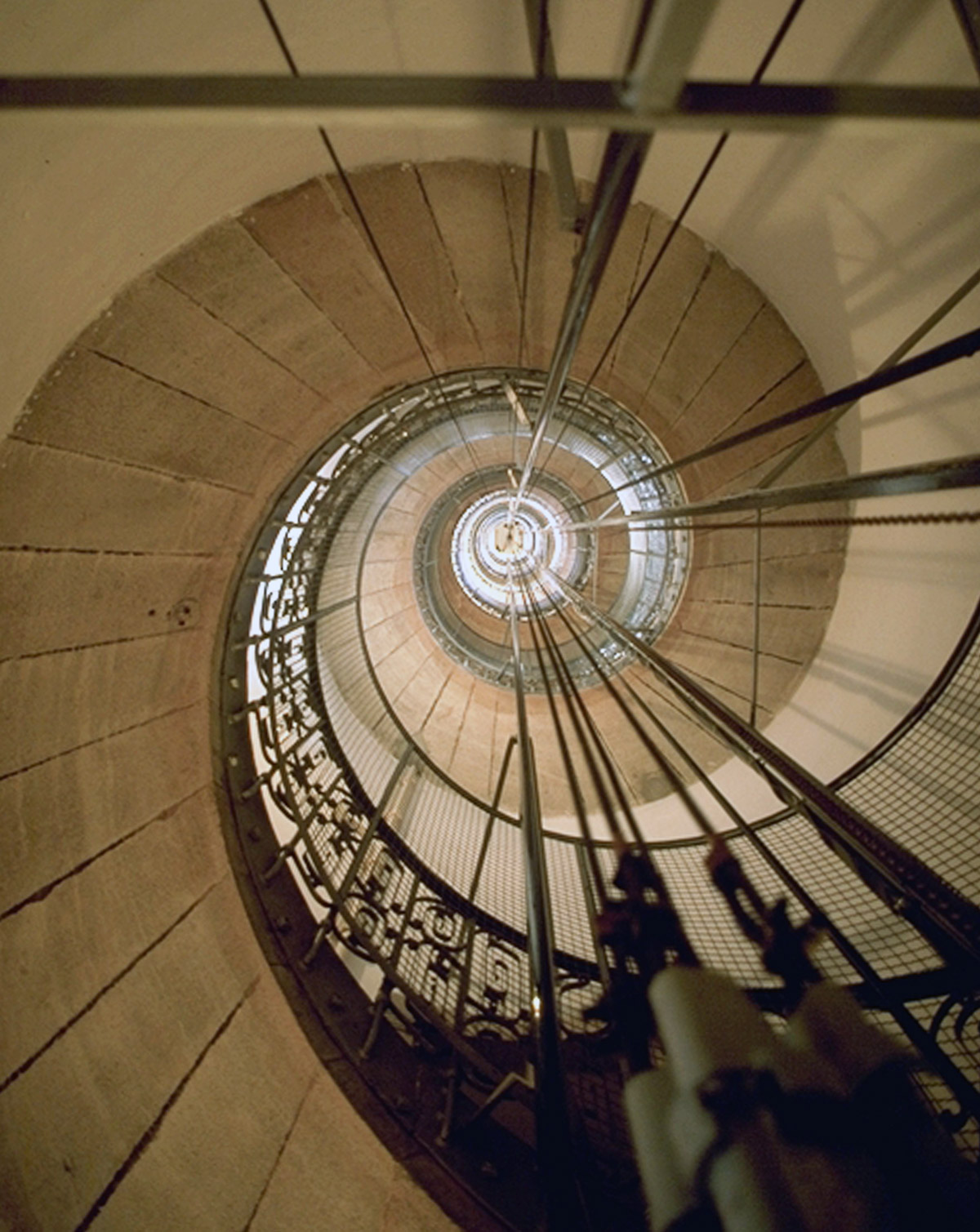
It was connected to the public electricity grid in 1947. During the rotation of the device, the watchmaking machine gave way to electric motors.
In 1957 an elevator was installed to access the tower, and in 1960 the direct current generators were replaced by alternators.
In 1983 the power of the lamp was reduced to 1000 watts.
It was automated in 1989 with the model D.F.
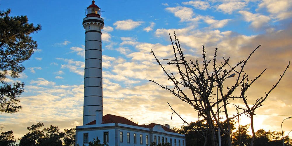
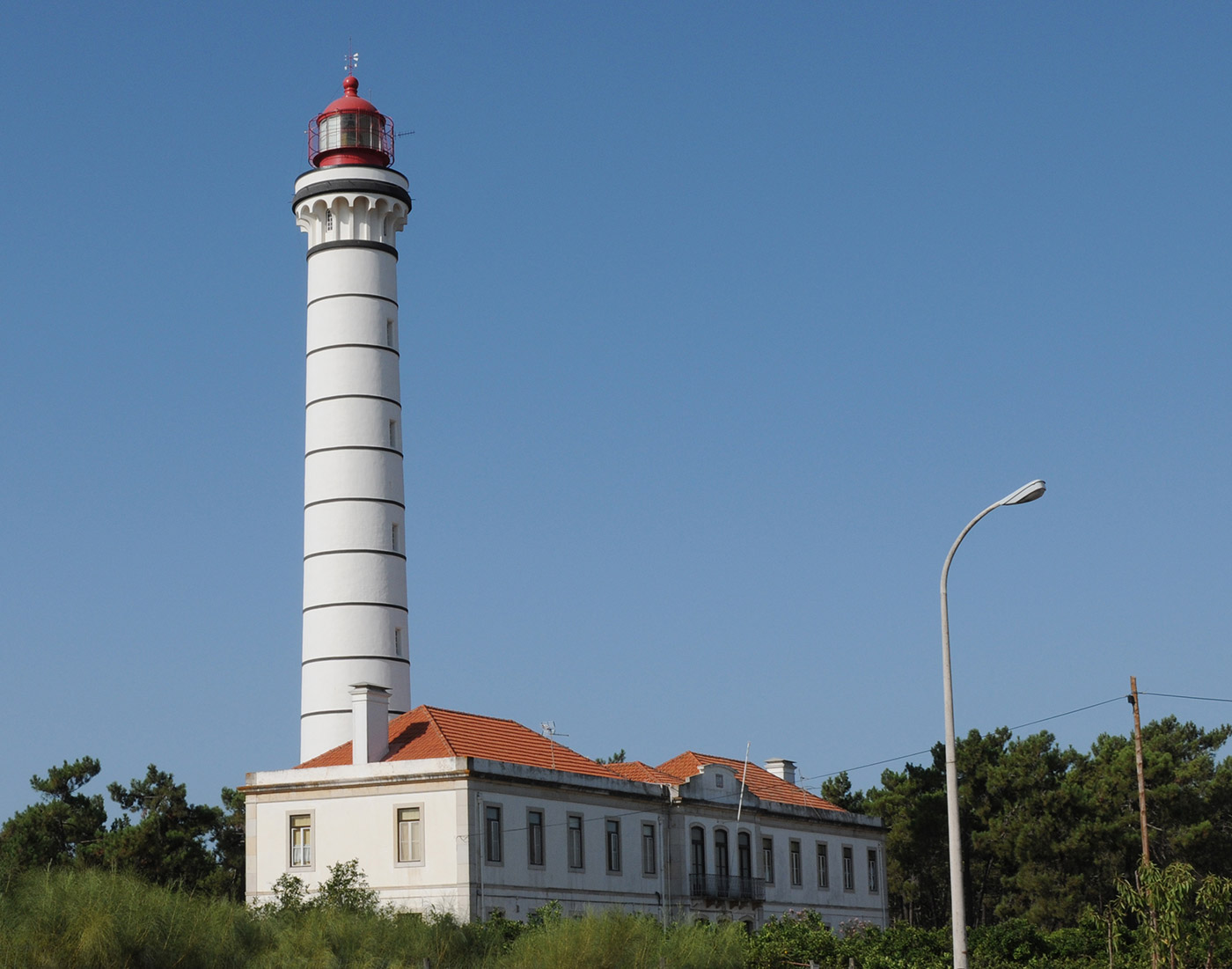
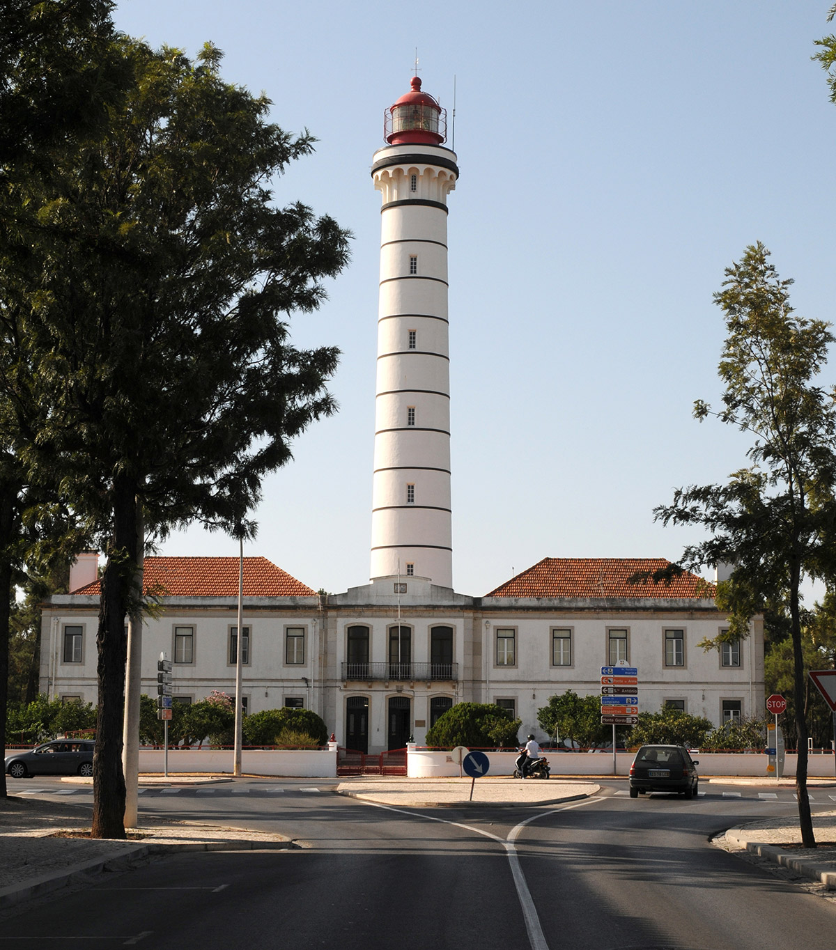
LOCATION: VILA REAL DE S. ANTÓNIO
FUNCTION: COASTAL
ESTABLISHMENT: 1923
LATITUDE: – 37º 11',29 N
LONGITUDE: – 07º 24',89 W
HEIGHT: 46 m
ALTITUDE: 52 m
RANGE: 26 MI (48Km)
FEATURE: FI W 6.5s (Lt 0.2s;Ec 6.3s)