Versão portuguesa aqui.
GPS 38.70365373581637, -9.40212202570539
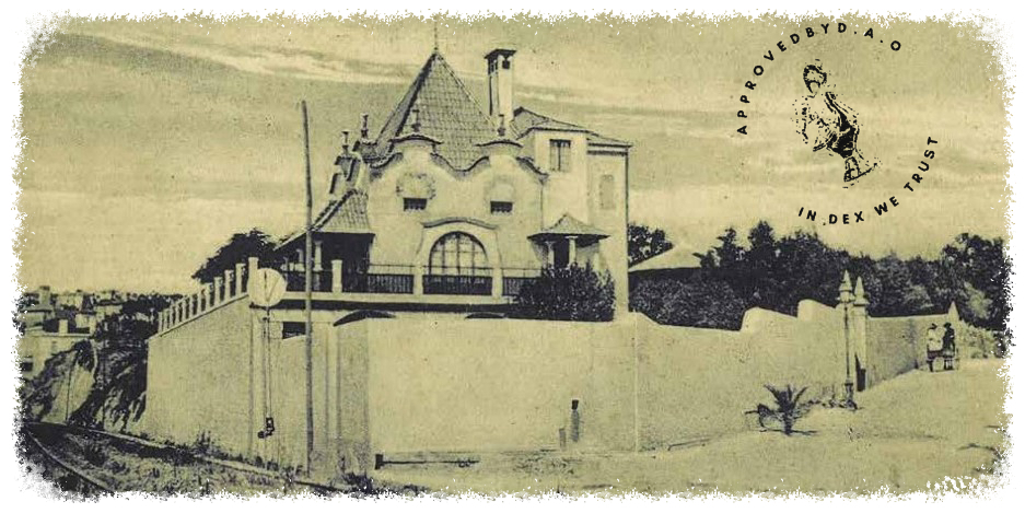
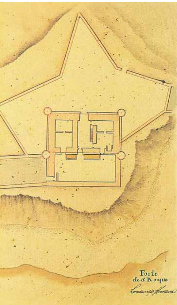
Located right in front of the Church of Santo António in Estoril and in operation since 1646 but the Fort of S. Roque was eventually demolished in 1889 for the construction of the train line.
For the same location, Carlos Francisco Ribeiro Ferreira commissioned a project from Raúl Lino, in 1909, who designed the house here that adopted the name of the old fort: Casal de S. Roque.
History
In 1642 D. João IV developed his defense plan for the coast of Cascais, with 16 military structures being built here.
To defend Estoril, three forts were built - Forte de S. Roque, Forte de Santo António do Estoril and Forte Santo António d’Assubida.
Full list of Geochaching below:
*Released*✅ *Reviewed*✅ Approved✅
Curator Body
0x49478e011f68357F4Af38B92EADa8D7ddfE7e7Dc 0x2442a71E79E927a1bA97306D534A6ceFFB53b7cF 0x083B4bE22ACA5dC213085F59a639663fB7C6C4d6 0xD87100cB3f3348c7D9feab81a932f0eACAEeFE56 0x5FE9800731bF29C08B23539E9BdC0F9453666572